Pacific storms pile pressure on Mexico and Hawaii in a crowded hurricane season
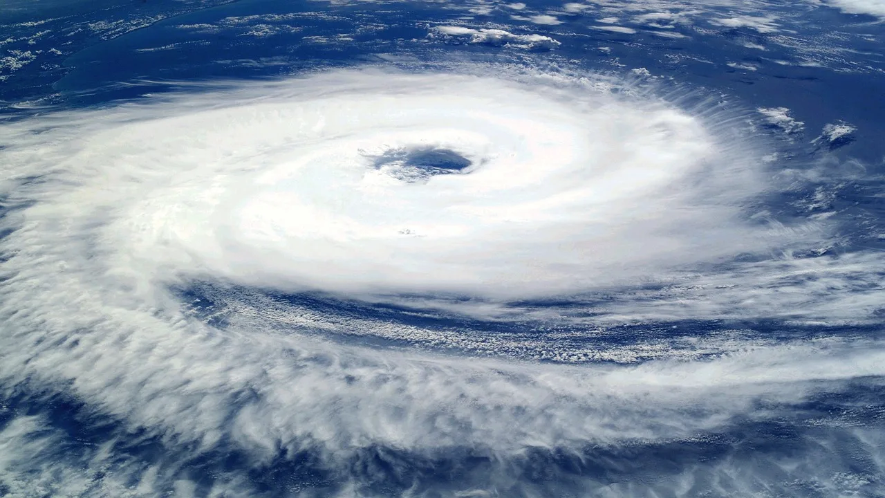
NASA’s September assessment shows Polo and Nolo among a crowded field of cyclones.
A crowded Pacific storm season brought overlapping hazards to Mexico and Hawaii in the final week of September, with hurricanes threatening coasts even as individual systems weakened or moved offshore.
NASA's September 30 assessment counted 20 named storms in the northeastern and central Pacific by September 28, including nine hurricanes. That compared with averages of 13.5 named storms and 7.4 hurricanes by the same point in the 1991–2020 record.
The agency's September 27 satellite view captured several systems across the basin. The image placed Hurricane Polo near Mexico and Nolo near Hawaii within the same regional pattern, rather than treating each storm as an isolated event.
Polo made landfall in Baja California Sur late September 28 local time. NASA, citing the National Hurricane Center, described an estimated Category 2 landfall after a much stronger peak over water. Its earlier intensity did not represent the winds that every coastal community experienced when it arrived.
Reuters reported September 29 that Polo subsequently crossed toward mainland Mexico and made another landfall near Guaymas as a Category 1 hurricane before weakening. Flooding, downed trees and utility poles, and road closures were reported. The agency said no fatalities had been reported at that stage.
At the same time, Hawaii was dealing with Nolo after an earlier storm, Lala. AP's September 27 account described continuing risks from rain, surf and wind even as Nolo moved away. It also reported National Guard mobilization and federal emergency support amid damage from the preceding storm.
The sequence matters for recovery. A community does not regain functioning roads, housing or emergency capacity simply because one cyclone's center moves farther away. A second system can bring heavy rain to ground and infrastructure already affected by the first.
Off Mexico, Rachel was also strengthening while Polo weakened. Reuters reported on September 29 that Rachel was forecast to remain offshore, though attention remained on the coast as its circulation intensified. Offshore movement does not make a storm irrelevant to people exposed to its swells and rainfall.
The National Hurricane Center's archived advisories trace the change in Polo's status from hurricane to tropical storm and then remnants on September 29. Those labels describe the circulation at different times; they are not interchangeable descriptions of the entire week's event.
The week's record illustrates two different measures of an active season: the number of named systems and the consequences where their weather reaches land. NASA's basin-wide count captures the first. The reports of damaged infrastructure, emergency preparations and repeated exposure in coastal communities capture the second. The September assessment is an archive of those conditions, not a replacement for current local warnings.