America maps 1,271 critical-mineral deposits. Turning them into supply is another challenge.
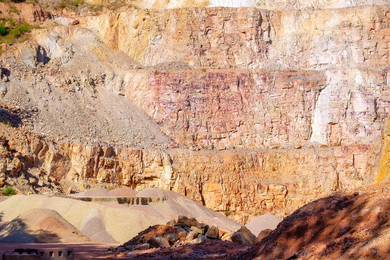
A new federal inventory identifies untapped resources across 41 states and Puerto Rico, sharpening the search for domestic alternatives.
The United States has an updated map of where strategically important minerals are known to exist: 1,271 deposits across 41 states and Puerto Rico, according to a U.S. Geological Survey release on September 29.
The inventory covers 59 critical minerals. Of the deposits identified, 412 have documented resources but no past production—roughly one in three. That makes the database a guide to potential supply, rather than a count of operating mines or a promise that every location can support one.
The distinction matters for an administration seeking to reduce reliance on foreign sources of materials used in manufacturing and defense. A mineral occurrence, an economically recoverable reserve and a producing mine describe different stages of development.
What the database records
The accompanying data catalog says the inventory draws on several federal mineral databases, industry reports and published literature. Deposits are classified by mineral system and deposit type, with information about known resources, reserves and earlier production where available.
The version-three metadata confirms the 1,271-deposit total. Some older descriptive material associated with the dataset still refers to a smaller inventory, making version identification important for anyone using the figures. The September 2026 release is the relevant update.
This is not simply a list of promising dots on a map. Organizing deposits by geology and resource information helps researchers compare sites and identify gaps where more investigation would be useful. It can also separate locations with a production history from those whose potential remains less developed.
The mapping effort behind it
The database supports Earth MRI, the federal initiative gathering new geological and geophysical information across the country. USGS says the program has remapped more than one-third of the United States and aims to assess domestic critical-mineral potential by 2031.
The agency's work includes airborne surveys and a partnership with NASA using reflected light to help identify geological composition. The updated inventory can inform where further surveys are directed; it is not a substitute for site-specific exploration.
Why the number needs context
For a manufacturer, the existence of a deposit does not establish when material will become available, in what quantity or at what price. Those questions require work beyond an inventory of known geology. The release does not announce 1,271 new mines, and the 412 nonproducing deposits should not be counted as near-term output.
The federal map is publicly accessible. Investors, researchers and communities can examine the locations and underlying classifications as the broader mapping program continues toward its 2031 assessment target.